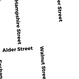
473 - 475 HAMPSHIRE ST
Owner Information
RODRIQUEZ MARIA
473-475 HAMPSHIRE ST
LAWRENCE, MA 01841


Property Details
473 - 475 HAMPSHIRE ST is classified as a Two-Family Residential (Family conver.).
The primary structure on this property was built in 1910. There are 2,670ft2 of built area within this property. There is 1,656ft2 of residential/living space within this property. This property is listed as having 9 rooms.
473 - 475 HAMPSHIRE ST is valued at $276,400. The land is valued at $93,200 and the structures are valued at $183,200.
This property is in Zone R-3. Confirm with local Zoning Board authorities to ensure there are no overlays or other easements on this property.
The most recent deed for 473 - 475 HAMPSHIRE ST is recorded at the local registrar in Book 6106, Page 249. 473 - 475 HAMPSHIRE ST was last sold on Monday, April 23, 2001 for $10,000.
Assessment data from fiscal year 2022.
Flood Data
According to the FEMA National Flood Hazard Layer, this property does not appear to be in a flood zone. It may also be in an area not yet reviewed. Nonetheless, confirm this information prior to taking any action.
To view the flood hazards around this property, create a FEMA "Firmette" Map of the area around 473 - 475 HAMPSHIRE ST.
Broadband Internet Providers
| Provider | Type | Bandwidth (mbps) | |
|---|---|---|---|
| Crown Castle Fiber | Fiber | 0 | 0 |
| Verizon New England Inc. | DSL | 7 | 0 |
| Verizon New England Inc. | Fiber | 940 | 880 |
| Comcast | Cable | 1000 | 35 |
| GCI Communication Corp. | Satellite | 0 | 0 |
| HughesNet | Satellite | 25 | 3 |
| VSAT Systems, LLC. | Satellite | 2 | 1 |
| Viasat Inc | Satellite | 100 | 3 |
Broadband service provider data from December 2020.
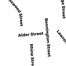
Adjacent Properties
- 469 A HAMPSHIRE ST #1
Condo owned by JOHN SORBELLO - 469-469 HAMPSHIRE ST
Other, Open Space owned by None - 469-469 HAMPSHIRE ST
Other, Open Space owned by None - 469-469 HAMPSHIRE ST
Other, Open Space owned by None - 467-469 HAMPSHIRE ST
Other, Open Space owned by JOHN SORBELLO - 469 B HAMPSHIRE ST #2
Condo owned by JOHN SORBELLO - 469 C HAMPSHIRE ST #3
Condo owned by JOHN SORBELLO - 469 D HAMPSHIRE ST #4
Condo owned by JOHN SORBELLO - 172 - 178 WALNUT ST
Three-Family Residential owned by CASTILLO JOHNNY - 190-192 WALNUT ST
Three-Family Residential owned by VASQUEZ CARMEN J/T - 481 HAMPSHIRE ST #481A
Condo owned by SANTIAGO DIDANIA - 481 HAMPSHIRE ST #481B
Condo owned by CALCANO RUDEIDAMIA A - 481 HAMPSHIRE ST
Other, Open Space owned by VALERIO RAMON M